
Our heavyweight helicopter equal in the world does not have
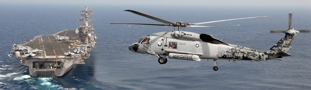
In Rostov started production of the most load-lifting rotary-wing car The Russian holding «Helicopt[...]
Everything about aircrafts and helicopters. News and events in aviation worldwide. Civil, transportation, military helicopters and airplanes.
Everything about aircrafts and helicopters. News and events in aviation worldwide. Civil, transportation, military helicopters and airplanes.
Everything about aircrafts and helicopters. News and events in aviation worldwide. Civil, transportation, military helicopters and airplanes.
Everything about aircrafts and helicopters. News and events in aviation worldwide. Civil, transportation, military helicopters and airplanes.


|
|
|
In This Chapter |
|
|
>• Aviation maps: a sky-high view of earth |
|
|
>■ The latitude and longitude of it |
|
|
► Great circle routes: the shortest routes on earth |
|
|
>• The challenge of dead reckoning |
|
|
► Navigating by radio |
Navigation is the element that transforms flying into traveling. The pilot who loves flying for its own sake can take his airplane aloft and enjoy the sensations of flight, then return to land without ever wandering more than a few miles from his home airport. The pilot who wants to get from one airport to another, or make his way to a particular site that he wants to see from the air, must be able to navigate—to plan a specific course between departure point and destination and then put that plan into practice in the air.
Drawing a Map
Road maps don’t need much explaining (unless we’re talking about learning to fold them up again so they’ll fit back in the glove box). They depict the features that are
most useful to automobile drivers—things like roads, parks, churches, schools—anything that drivers can easily see and use to navigate.
Aviation maps follow the same principle. They depict the features that will prove most useful in helping pilots navigate. But the definition of “useful features” to a pilot means that aeronautical maps look far different from road maps.
The Chart
First, don’t call an aeronautical map a “map.” It’s called a “chart.” There’s really no logical reason for the terminology, except that pilots always have to be different.
 |
The differences between a road map and an aeronautical chart go much further than terminology. Most noticeable is the scale to which they are drawn. Aeronautical charts are designed to work for an airplane traveling a couple hundred miles an hour, not for a car traveling slowly and stopping at every corner. If aeronautical charts were drawn on the same small scale as a city road atlas, a pilot traveling at high speed would have to turn the page every minute or so.
Not only does the scale of an aeronautical chart differ from what we generally see on a street map, its features differ as well. When navigating by car, street names on corner signposts are critical to making your way to a particular restaurant, for instance. But in the air, the names of roads are far less important (and far less legible!) than the shape of the road against the terrain. A pilot compares the shape of a road with a distinctive pattern to a similar pattern on his sectional chart to find his way by air.
A third critical difference between the two maps is that road maps usually ignore all but the most heavily used airports. Sectional charts depict every possible airport and out-of-the-way landing strip, even some that are no longer usable. That’s because landing strips make particularly noticeable landmarks when seen from the sky. A secondary benefit is that if something goes wrong with the airplane in flight, it’s nice to be able to fly toward a landing strip as quickly as possible.

