
Our heavyweight helicopter equal in the world does not have
In Rostov started production of the most load-lifting rotary-wing car The Russian holding «Helicopt[...]
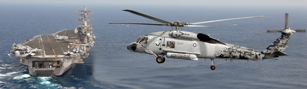
Everything about aircrafts and helicopters. News and events in aviation worldwide. Civil, transportation, military helicopters and airplanes.
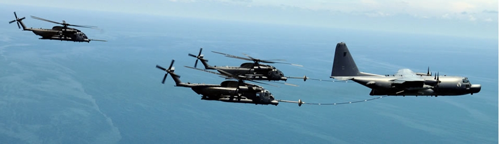
Everything about aircrafts and helicopters. News and events in aviation worldwide. Civil, transportation, military helicopters and airplanes.
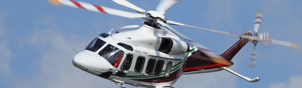
Everything about aircrafts and helicopters. News and events in aviation worldwide. Civil, transportation, military helicopters and airplanes.
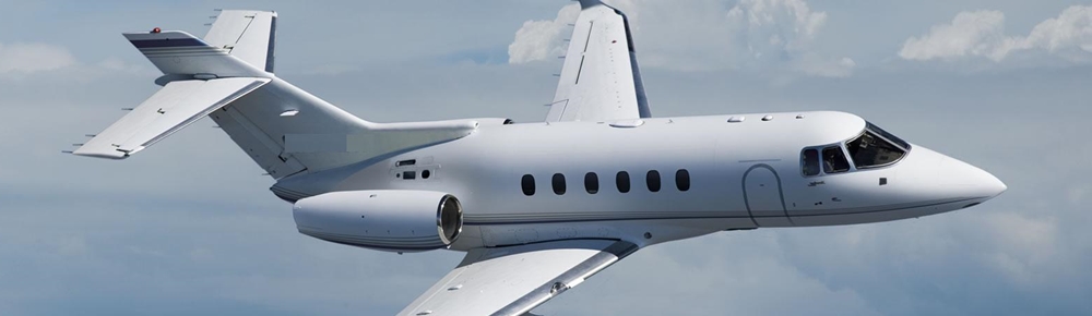
Everything about aircrafts and helicopters. News and events in aviation worldwide. Civil, transportation, military helicopters and airplanes.


To a pilot, clouds provide valuable clues to activity in the atmosphere. Although ideally a pilot should be armed with the latest weather reports, by scanning the clouds he can tell what sort of localized air movements may be transpiring that the most upto-date forecast may not yet contain. Before we consider the different types of clouds and what a pilot can infer from them, let’s take a look at how clouds are formed.
|
|
A Cloud is Born
Water takes one of three forms: ice, liquid, or vapor. Another name for vapor is humidity. There’s a limit to how much water vapor the air can hold, or how humid it can be. The warmer the air, the more water vapor the air can hold. The cooler the air, the less water vapor it can hold.
All air, warm or cold, has a point at which it becomes saturated and can’t hold any more water. When air reaches its saturation limit, any additional water vapor condenses, changing from invisible vapor to visible water droplets. We recognize these visible water droplets, in great masses, as clouds.
Because cold air is not able to hold as much water vapor as warm air, a moist parcel of air that cools below the dew point will also condense to form clouds.

