
Our heavyweight helicopter equal in the world does not have
In Rostov started production of the most load-lifting rotary-wing car The Russian holding «Helicopt[...]
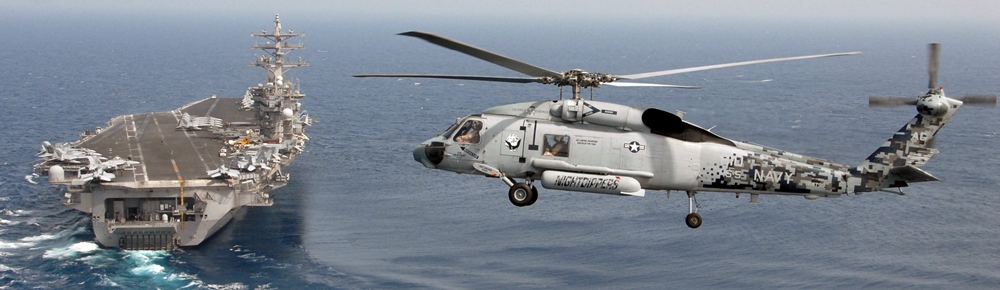
Everything about aircrafts and helicopters. News and events in aviation worldwide. Civil, transportation, military helicopters and airplanes.
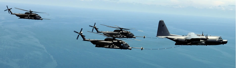
Everything about aircrafts and helicopters. News and events in aviation worldwide. Civil, transportation, military helicopters and airplanes.
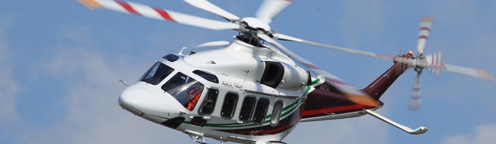
Everything about aircrafts and helicopters. News and events in aviation worldwide. Civil, transportation, military helicopters and airplanes.
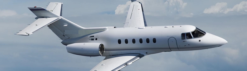
Everything about aircrafts and helicopters. News and events in aviation worldwide. Civil, transportation, military helicopters and airplanes.


Airplanes don’t simply fly over the ground. They fly in air that is always moving in the form of wind. And wind at high altitude always blows from different directions and at different speeds than the wind on the ground. Not only that, a plane flying at an altitude of 10,000 feet might feel strong wind from the south while a pilot at 5,000 feet might have very light winds from the west.
In navigating, the wind can never be left out of the equation. A flight from Boston, say, to New York’s Kennedy airport, which is toward the southwest, will arrive at different times depending on the wind speed and direction. A plane flying to the southwest will be pushed even faster by a northeasterly wind. For example, if an airplane is flying at 125 knots with a direct tailwind of 25 knots, the plane’s speed over the ground will be 150 knots, the combination of the two speeds.
By the same token, a plane flying at 125 knots into a 25-knot headwind will have a total speed over the ground of just 100 knots. The effect of headwinds and tailwinds explain how an airline flight can take off late and still arrive at the destination gate early.
So, no matter how fast an airplane’s “airspeed,” the speed it travels through the air, what’s most important is its “groundspeed,” or its speed relative to the ground. Groundspeed affects all aspects of a flight. If a pilot must travel at 125 knots into a 25-knot headwind, and he wants to fly to an airport 200 miles away, he can calculate that the flight will take two hours to complete. From that, he can determine the amount of fuel he has to have on board to finish the flight plus have a safe reserve. The longer the flight, the more fuel a pilot needs. The weight of the fuel he must carry for the flight—about six pounds per gallon—will affect the number of passengers or the amount of cargo he can carry, or more likely how often he will have to land to refuel.
Steering the Course
Of course, headwinds and tailwinds are not all that complicate dead reckoning. They do enter into calculations of flight speed and time, but what about course, the direction a pilot must travel to get from one airport to another? In calculating course, we
start to deal with crosswind. If we miscalculate the effects of crosswind, we will be blown off course and will run the risk of getting lost.
To understand the effects of crosswind on an airplane’s course, imagine rowing a boat across a river. Let’s say you want to row from a point on one shore to a point that is directly opposite. If you point your boat directly at your destination and begin rowing, you’ll soon notice that you’re not heading toward your destination at all. Instead, you’re being carried slowly downstream as you make your way across.
A smart boatman knows that if he wants to track a course directly across a flowing river, he has to point his boat’s nose upstream so that some of his energy is spent on counteracting the downstream drift. The downstream drift of the boat is exactly what happens to an airplane flying in a crosswind, or in any wind that is blowing even slightly from the side with a crosswind component. The strength of the crosswind and the amount of time the airplane spends in it will combine to push the pilot off course unless he points the airplane’s nose slightly in the direction the wind is blowing from.
|
By the Book A wind that move* in the same direction a* the airplane n called a tailwind, while a wind moving in the opposite direction of flight is a headwind. Wind from the side of an airplane’s course is called a crosswind. Using basic trigonometry, wind from any direction can be divided into its headwind, tailwind, and crosswind components. |
|
On Course |
Don’t be intimidated by the prospect of calculating course, track, or groundspeed. Over the years, pilots and seagoing navigators have developed all kinds of tools to simplify the process. The traditional circular slide rule, which is still the greatest test of old-fashioned navigating skills, has been replaced by battery – operated flight calculators that make the job of flight planning a snap. The old-fashioned "plotter’"— a protractor that measures the basic course—is still in use, and takes only a few minutes to learn.
If you become a student pilot, you’ll learn how to estimate the wind’s speed and how to calculate which direction, or course, to steer to fly over a particular ground track. (The ground track is the direction you end up traveling when the airplane’s direction and speed and the direction and speed of the wind are all taken into account. Think of the ground track as the direction the airplane’s shadow travels.)
The Radio: All Navigation, All the Time
It wasn’t long after people started flying that inventors began looking for ways to put radio waves to work in helping with navigation. Their inventions are still used in the form of a worldwide network of radio beacons. Those broadcast
stations send out signals in a range of frequencies that special airplane radios receive and translate into information about an airplane’s track.
|
On Course |
Airliners always carry far more fuel tban the amount needed to get from start to destination. Regulations demand that airliners have to be able to fly not only to the destination, but to a specific alternate airport in case bad weather or something else forces the plane to divert its course. Once the plane gets to its alternate airport, it must be able to sustain a landing delay there before it runs low on fuel. FAA regulations make airline flying very safe.
The most common radio navigation instrument is the VOR, or the very-high frequency omnidirectional range. Its name comes from the part of the radio spectrum it broadcasts on, the very-high-frequency portion, and the fact that it broadcasts an omnidirectional signal that can be received no matter which direction a plane flies in relation to the broadcast station. In essence, a pilot dials in a particular course—called a “radial” in navigation parlance—and the VOR indicates which direction the pilot should steer to get to that course.
Some cockpits have radios that rely on a miraculously precise form of navigational aid called GPS, which stands for “global positioning system.” GPS uses a network of stationary satellites some 23,000 miles above the earth. Using precise clocks and complicated triangulation, GPS receivers are capable of pinpointing a location to within a few feet, and hold great promise to revolutionize the way we use radios to get around in airplanes.
|
|
Plane Talk
Because AM broadcast radio stations were so widespread in the Golden Age of Radio, back in the days of Jack Benny and Edgar Bergen, pilots began using a navigation device that homed in on ordinary broadcast radio signals. The instrument called an automabc direction finder, simply points directly to the location of the radio station’s broadcast antenna, which h also depicted as a symbol on an aeronautical chart. With a few mental gymnastics, AOFs can even be used to navigate a fairly accurate flight track. But to me the best thing about having an AOF in an airplane is that even if I don’t need to use it to navigate, I can listen to some good music on AM radio stations, as long as there’s nothing pressing to take care of at the moment
|
By the Book Pilotage is the art of being able to recognize on the earth’s surface those features that are depicted on aeronautical charts. That includes distinguishing one hill from a similar one simply by a difference in the steepness of a slope or identifying a stream bed by its shape. Pilotage is one of the great forgotten skills, but one of the most rewarding that a pilot can learn. |
I’m no Luddite, and I’ve been accused of going overboard in adopting new technologies, but the cockpit is one of my few refuges from the press of new technology. When I fly, I prefer to turn back the clock to the days of charts, slide rules, and a pencil behind my ear. I enjoy dead reckoning and using pilotage because it forces me to look closely at the ground below and to search for the tiniest details of topography.
For me, old-fashioned dead reckoning and pilotage are akin to driving my truck down the back roads of New England, while modern aviation aids seem more like racing down the interstate. Still, I am intimately familiar with all the navigation equipment in every plane I fly. Though I may prefer not to pay a lot of attention to them all the time because I’m busy enjoying the pleasures of hands-on navigation, electronic flight instruments add a degree of safety that pilots a few decades ago could only dream of.
So You Think You’re Lost: Getting Back on Course
Once, while preparing a student for a test flight with an examiner, I reviewed with him the various methods of finding his course should he get lost. I knew it was a question he’d be asked, and he and I spent some time on it. At the end of the review, as a joke to lighten the pressure a bit, I said, “And if all else fails, land at the nearest landing strip and ask somebody on the ground where you are.”
Now, under the pressure of a test flight, the mind can behave in funny ways. Sure enough, the check pilot quizzed my student on how to get his bearings if he’s lost. “What’s the first thing you’d do once you think you might be lost?” she asked. My student, obviously rattled, blurted out, “My instructor said I should land at a nearby airport and ask somebody where I was.”
Fortunately, the check pilot recognized a case of jangled nerves when she saw it, and she drew the student out until he had laid out the full list of procedures. Later, he and I had a short briefing on how to recognize a joke when he heard one.
Getting lost is actually not that unusual for beginning pilots. The intricacies of navigation are only mastered after lots of practice, and that often means lots of getting lost. But to a seasoned pilot, getting lost should mean only a few moments of uncertainty before he identifies a terrain landmark on his chart.
Turbulence
On some flight»—say, flighb over the ocean or over uninterrupted forest—there are few prominent features that a pilot can rely on to stay on course. Such flighb could be beyond the skill level of some pilob, who should plan their flight on a less direct but safer route. The John F. Kennedy Jr. tragedy might have been related to this, and Chapter 10, "John F. Kennedy Jr.’s Final Flight," is devoted to a discussion of his fatal accident
If that fails, the pilot can turn to his on-board navigation radios for an almost surefire fix on his position. With the VOR, a pilot can find his direction from a specific navigation broadcast antenna, whose position is marked on the chart. The pilot can draw a line on his chart corresponding to that VOR direction, and he knows he has to be somewhere on that line. Then, he can tune in another VOR and determine his position relative to the second VOR. He can draw that line on the map. Where the two lines intersect is where he’s positioned.
It gets even easier if the first VOR is equipped with distance-measuring equipment, or DME. Not only does the VOR provide a course line, but the DME tells the pilot exactly how many miles he is from the VOR broadcast station. By pinpointing that position on his chart, the pilot knows where he is and he can get his bearings.
 |
The details involved even in the few navigational techniques I’ve described here require a good deal of classroom study and then practice in the airplane with an instructor. But the main thing to remember is that getting lost need not be a disaster, and pilots are equipped with a host of options when the terrain begins to look unfamiliar. Of course, if you still can’t figure out where you are, just land at a nearby airport and ask somebody where you are!


